Vulcan Line Tools Documentation
Welcome to the documentation hub for Vulcan Line Tools.
About Vulcan Line Tools
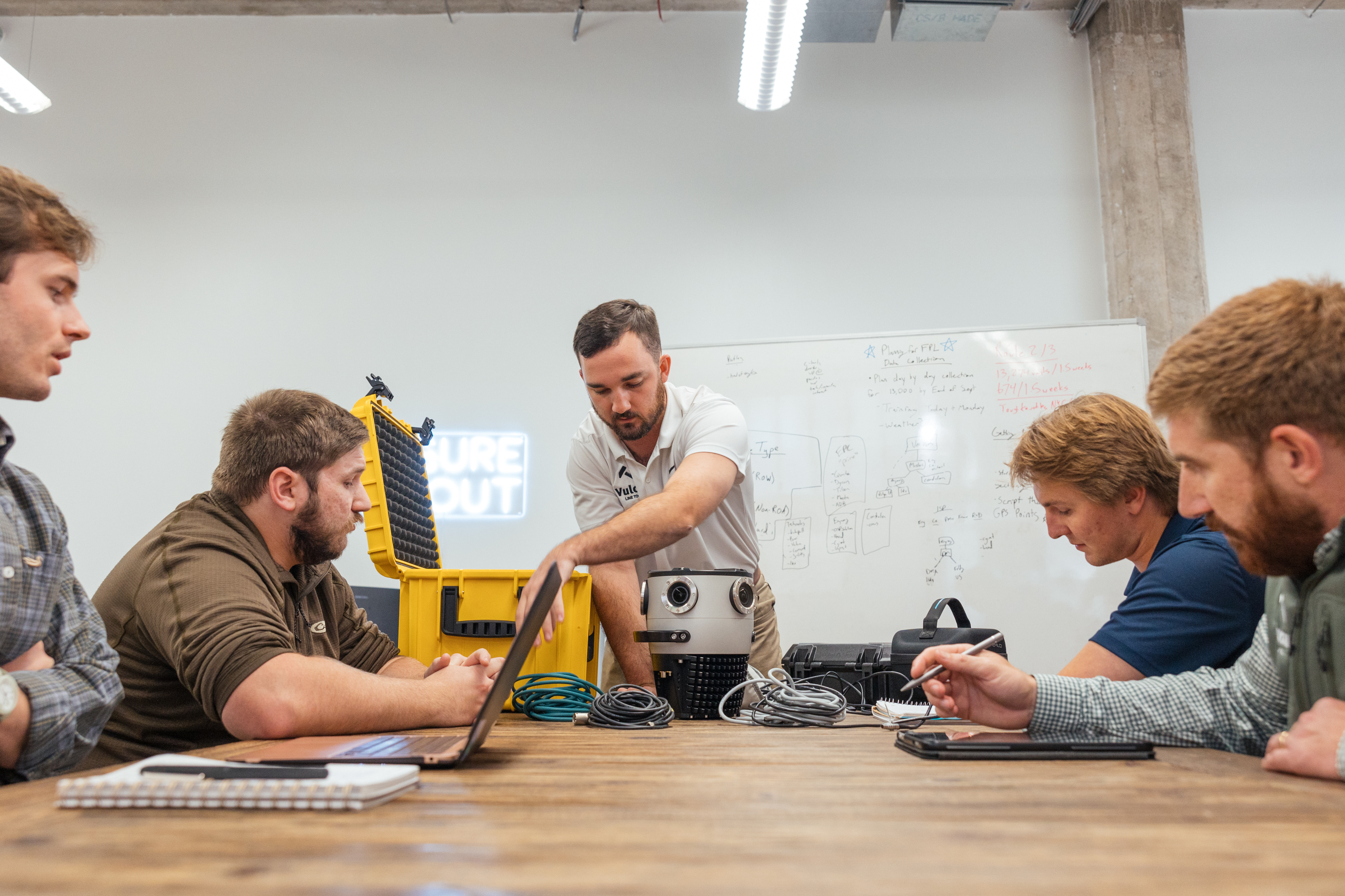
Vulcan Line Tools was founded in 2019 to give utilities and telecoms a better way to understand and manage their infrastructure. Today we offer:
- Surveying software – Azmyth (web) and Azmyth on Foot (iOS) for measurable imagery and GIS-ready data.
- Construction tools – including Dynamometers and the WaveTimer for tension, sag, and load monitoring.
- Services – joint use audits, make ready assessments (Red Yellow Green), field data collections, and engineering support.
To learn more about our products and services, visit
vulcanlinetools.com.
Azmyth on Foot
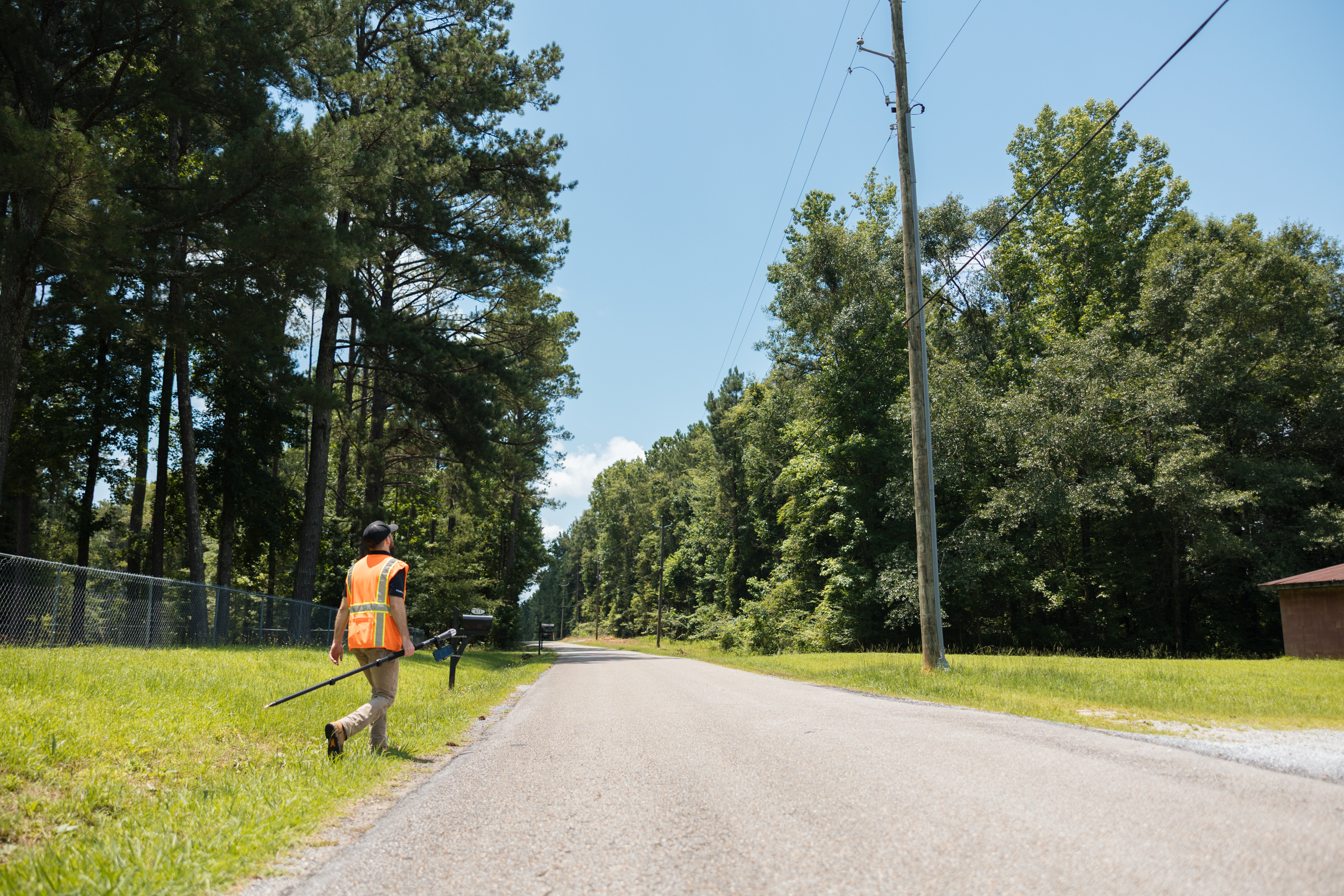
Azmyth on Foot turns an iPhone + RTK GNSS into a field survey tool.
It lets you:
- Capture a photo of a pole or asset from your iPhone.
- Pair with an RTK GNSS receiver (e.g. Emlid Reach RX) for sub-inch horizontal accuracy.
- Walk up to the object and capture its precise position.
- Upload to the Azmyth web app, where teams can measure:
- Pole height
- Attachment heights
- Clearances and span lengths
It’s built for field crews at electric utilities, co-ops, broadband providers, and engineering firms who need survey-grade data without bulky gear or slow, manual workflows.
Get started in 5 steps
If you’re new to Azmyth on Foot, start here:
- Create an Azmyth account and company at azmyth.io.
- Install Azmyth on Foot from the App Store and log in.
- Connect RTK (e.g. Emlid + NTRIP) and confirm sub-inch accuracy.
- Capture a node in the field – photo, data, and node position.
- Review and measure in the Azmyth web app.
➡️ Jump in: Azmyth on Foot – Quick start